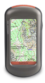
GPS-Geräte
Garmin GPS-Geräte (Archiv 2006-2024)
Hinweis zu den 2025er Outdoor-Garmins
Nach 20 Jahren Garmin-Geräteschulungen und regelmäßig aktualisierten Tutorials ziehe ich bei neuer Hardware einen Schlussstrich. Die aktuellen Entwicklungen, insbesondere bei der Gerätesoftware GPSmap H1 und eTrex Touch (2025), erscheinen mir nicht mehr sinnvoll. Altbewährtes wie die Punkt-zu-Punkt-Luftlinien-Route sowie die Basecamp-Kompatibilität wurde über Bord geworfen, während im Bereich der Planungssoftware keine taugliche Neuerung entstanden ist.
(Jens Klöckner, 11/2025)
 |
 |
 |
 |
 |
 |
 |
 |
 |
 |
 |
 |
 |
 |
 |
 |
 |
 |
 |
 |
 |
 |
 |
|
|---|---|---|---|---|---|---|---|---|---|---|---|---|---|---|---|---|---|---|---|---|---|---|---|
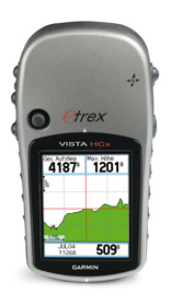
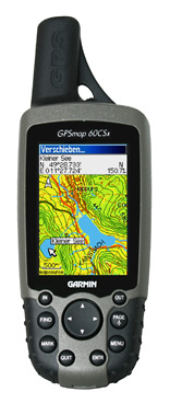
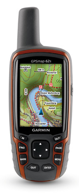
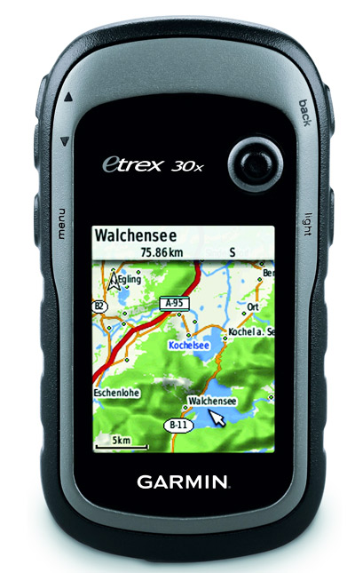
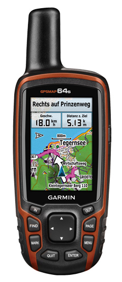
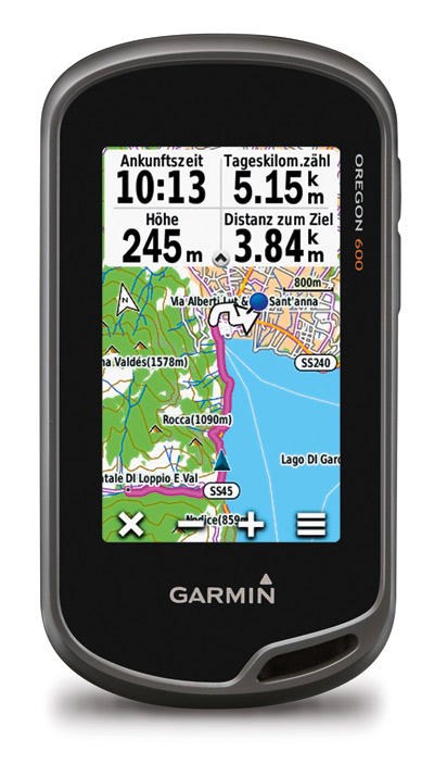
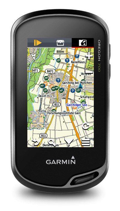
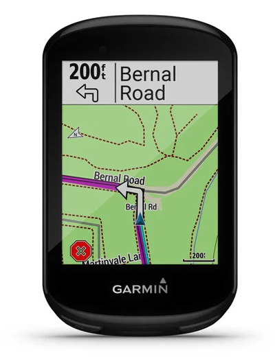
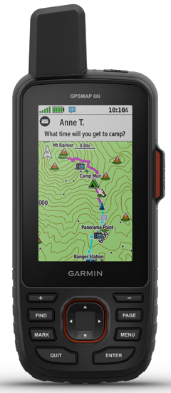
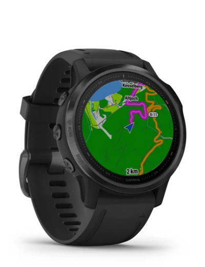
| sortieren nach | eTrex Vista HCx | Dakota 20 | Edge 705 | eTrex SE | Edge 800 | Oregon 450 | GPSMap 60 CSx | eTrex Touch 25 | GPSmap 62s | eTrex 30x | GPSmap 64s | Oregon 600 | Edge Explore | Montana 600 | Edge 1000 | Oregon 700 | GPSmap 65s | Edge 830 | GPSmap 66s | Fenix 6S-Pro | Edge 1030 | GPSmap 67 | Montana 700 |
| Markteinführung | Q3 2007 | Q3 2009 | Q1 2008 | Q1 2023 | Q3 2011 | Q1 2010 | Q1 2006 | Q3 2015 | Q2 2010 | Q3 2015 | Q1 2014 | Q1 2013 | Q3 2018 | Q3 2011 | Q3 2014 | Q3 2016 | Q1 2021 | Q3 2019 | Q4 2018 | Q4 2019 | Q1 2018 | Q1 2023 | Q1 2018 |
| Mietgerät | |||||||||||||||||||||||
| Gebrauchtgerät | |||||||||||||||||||||||
| Gewicht | 165 g | 154 g | 104 g | 157 g | 98 g | 196 g | 213 g | 159 g | 260 g | 142 g | 260 g | 210 g | 116 g | 289 g | 115 g | 210 g | 217 g | 80 g | 230 g | 61 g | 123 g | 235 g | 410 g |
| Abmessung | 5.6x10.7 x3 |
5.5x10 x3.3 |
5.1x10.9 x2.5 |
6.1x10 x3.3 |
5.1x9.3 x2.5 |
5.8x11.4 x3.5 |
6.1x15.5 x3.3 |
5.8x10.2 x3.3 |
6.1x16 x3.6 |
5.4x10.3 x3.3 |
6.1x16 x3.6 |
6.1x11.4 x3.3 |
5.5x10.5 x2.2 |
7.48x14.42 x3.64 |
5.8x11.2 x2 |
6.1x11.4 x3.3 |
6.1x16 x3.6 |
5x8.2 x2 |
6.2x16.3 x3.5 |
4.2x4.2 x1.38 |
5.8x11.4 x1.9 |
6.2x16.3 x3.5 |
9.19x18.3 x3.27 |
| Displaygröße | 2.1
Zoll 3.3x4.3 |
2.6
Zoll 3.6x5.5 |
2.2
Zoll 3.48x4.36 |
2.2
Zoll 3.3x4.4 |
2.7
Zoll 3.8x5.6 |
2.9
Zoll 3.8x6.3 |
2.7
Zoll 3.8x5.6 |
2.6
Zoll 3.6x5.5 |
2.6
Zoll 3.8x5.4 |
2.2
Zoll 3.5x4.4 |
2.6
Zoll 3.6x5.5 |
2.9
Zoll 3.8x6.3 |
3
Zoll 3.9x6.5 |
4
Zoll 5.06x8.93 |
3
Zoll 3.9x6.5 |
2.9
Zoll 3.8x6.3 |
2.6
Zoll 3.6x5.5 |
2.6
Zoll 4x5.3 |
2.9
Zoll 3.8x6.3 |
3.04 cm ⌀ | 3.5
Zoll 4.7x7.6 |
2.9
Zoll 3.8x6.3 |
5
Zoll 6.48x10.8 |
| Auflösung | 176x 220 | 160x 240 | 176x 220 | 240x 320 | 160x 240 | 240x 400 | 160x 240 | 160x 240 | 160x 240 | 240x 320 | 160x 240 | 240x 400 | 240x 400 | 272x 480 | 240x 400 | 240x 400 | 160x 240 | 246x 322 | 240x 400 | 240x 240 | 282x 470 | 240x 400 | 480x 800 |
| Akkuwechsel | |
|
|
|
|
|
|
|
|
|
|
|
|
|
|
|
|
|
|
|
|
|
|
| Akku int. laden | |
|
|
|
|
|
|
|
|
|
|
|
|
|
|
|
|
|
|
|
|
|
|
| Laufzeit
max. realistisch |
25
h 10-13 h |
20
h 8-10 h |
15
h 6-8 h |
168
h 67-84 h |
15
h 6-8 h |
16
h 6-8 h |
18
h 7-9 h |
16
h 6-8 h |
20
h 8-10 h |
25
h 10-13 h |
16
h 6-8 h |
16
h 6-8 h |
13
h 5-7 h |
16
h 6-8 h |
15
h 6-8 h |
16
h 6-8 h |
16
h 6-8 h |
20
h 8-10 h |
16
h 6-8 h |
50
h 20-25 h |
20
h 8-10 h |
180
h 72-90 h |
18
h 7-9 h |
| Speicher intern | 0 MB | 850 MB | 485 MB | 28 MB | 105 MB | 850 MB | 0 MB | 8000 MB | 1740 MB | 3700 MB | 4000 MB | 1500 MB | 8000 MB | 3000 MB | 8000 MB | 4000 MB | 16000 MB | 16000 MB | 16000 MB | 32000 MB | 16 MB | 16000 MB | 16000 MB |
| MicroSD Slot | |
|
|
|
|
|
|
|
|
|
|
|
|
|
|
|
|
|
|
|
|
|
|
| GPX kopierbar | |
|
|
|
|
|
|
|
|
|
|
|
|
|
|
|
|
|
|
|
|
|
|
| Luftlinienrouting Peilung |
|
|
|
|
|
|
|
|
|
|
|
|
|
|
|
|
|
|
|
|
|
|
|
| Elekt. Kompass | |
|
|
|
|
|
|
|
|
|
|
|
|
|
|
|
|
|
|
|
|
|
|
| Barom. Höhenmesser | |
|
|
|
|
|
|
|
|
|
|
|
|
|
|
|
|
|
|
|
|
|
|
| Rasterkarten | |
|
|
|
|
|
|
|
|
|
|
|
|
|
|
|
|
|
|
|
|
|
|
| Papierlos Geocaching | |
|
|
|
|
|
|
|
|
|
|
|
|
|
|
|
|
|
|
|
|
|
|
| Punkt zu Punkt (offroad Route) | |
|
|
|
|
|
|
|
|
|
|
|
|
|
|
|
|
|
|
|
|
|
|
| Strecken | |
|
|
|
|
|
|
|
|
|
|
|
|
|
|
|
|
|
|
|
|
|
|
| Connect IQ (Komoot) | |
|
|
|
|
|
|
|
|
|
|
|
|
|
|
|
|
|
|
|
|
|
|
| Explore App (Bluetooth) | |||||||||||||||||||||||
| eTrex Vista HCx | Dakota 20 | Edge 705 | eTrex SE | Edge 800 | Oregon 450 | GPSMap 60 CSx | eTrex Touch 25 | GPSmap 62s | eTrex 30x | GPSmap 64s | Oregon 600 | Edge Explore | Montana 600 | Edge 1000 | Oregon 700 | GPSmap 65s | Edge 830 | GPSmap 66s | Fenix 6S-Pro | Edge 1030 | GPSmap 67 | Montana 700 | |
| Bewertungen: | |||||||||||||||||||||||
| Bedienbarkeit / Handling | |||||||||||||||||||||||
| Menüführung | |||||||||||||||||||||||
| Ablesbarkeit | |||||||||||||||||||||||
| Empfang | |||||||||||||||||||||||
| Handlichkeit | |||||||||||||||||||||||
| Robustheit | |||||||||||||||||||||||
| Verarbeitung | |||||||||||||||||||||||
| Eignung: | |||||||||||||||||||||||
| Wandern | |||||||||||||||||||||||
| Expeditionen | |||||||||||||||||||||||
| Geocaching | |||||||||||||||||||||||
| Geocaching Gruppen/Events | |||||||||||||||||||||||
| Tourenrad | |||||||||||||||||||||||
| MTB | |||||||||||||||||||||||
| Rennrad / Radsport | |||||||||||||||||||||||
| Fitness / Training | |||||||||||||||||||||||
| eTrex Vista HCx | Dakota 20 | Edge 705 | eTrex SE | Edge 800 | Oregon 450 | GPSMap 60 CSx | eTrex Touch 25 | GPSmap 62s | eTrex 30x | GPSmap 64s | Oregon 600 | Edge Explore | Montana 600 | Edge 1000 | Oregon 700 | GPSmap 65s | Edge 830 | GPSmap 66s | Fenix 6S-Pro | Edge 1030 | GPSmap 67 | Montana 700 | |

